Colline Amiatine
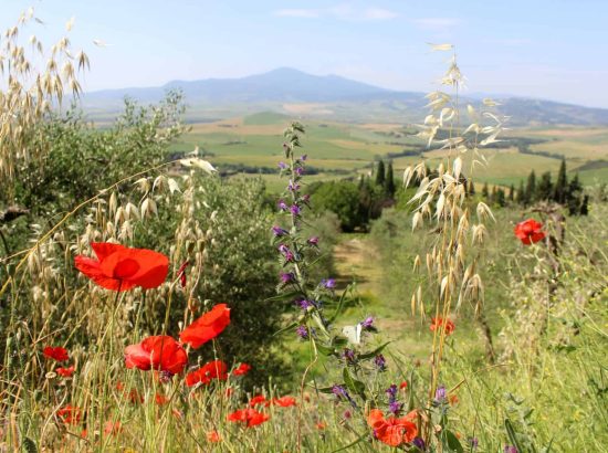
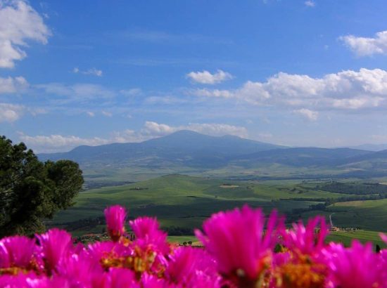
This is the northeastern part of Maremma, which lies 1,738 meters above sea level at the base of Mount Amiata – the largest volcano in Tuscany, last active 200,000 years ago – and also includes a mountain range.
The area
Mount Amiata spans the provinces of Grosseto and Siena, and is a leading winter and summer holiday destination with fifteen ski lifts and a large network of hiking trails. The area is famous for its cinnabar mines, from which mercury was extracted. There are several nature reserves in this area besides the Mt. Amiata wildlife reserve, which is home to wolves, fallow deer, red deer, roe deer, mouflon sheep, chamois and other native species. Let’s follow the rolling hills on the Grosseto side of the Mount together, across their volcanic soils, argilo-calcareous terrains, and the unique climatic characteristics that make them ideal for farming and particularly suited to viniculture.
Let’s start out from Grosseto, on state route 223 heading toward Siena, and exit at Paganico, among verdant hills and medieval villages. This small burg greets us with its fascinating defensive wall and three gates that to this day provide access to the historic center. It was built in the 13th century by the Republic of Siena, who considered its strategic location, not far from the sea in the Ombrone river valley, perfect for defending their interests. After crossing a few typically Mediterranean wild areas, vineyards, olive groves and fruit farms, we reach the Cinigiano exit, visit its famed clock tower, the magnificent nearby burgs, and the Porrona castle, a medieval fortress with stunning views of the natural beauty, historic and artistic wealth of the area.
